Lake McClure's Off-Season Is Exchequer Bike Park's Riding Season
November 5, 2026
November 5, 2026
Where do you take a mountain bike around Coulterville once the swim lagoons have closed? Merced Irrigation District lists the swimming lagoons at McClure Point and Horseshoe Bend as closed. On the northwest shore, at Barrett Cove, 700 acres of oak and brush hillside are reaching the months when they are best to ride.
That hillside is Exchequer Mountain Bike Park. Most of Lake McClure's calendar is built around summer water. Exchequer's is built around the opposite season. The park also isn't finished, and the people adding trails to it are the riders themselves.
MTB Project's monthly averages for Exchequer show why summer is the hard time to ride a dry foothill trail system.
| Month | Average high at Exchequer |
|---|---|
| July | 97°F |
| October | 80°F |
| December | 60°F |
Those figures are long-run platform averages, not a forecast. Still, the gap between July and December is close to 40 degrees, and that gap is the case for riding now. December also averages 3.2 inches of precipitation on the same MTB Project page. So the cool season brings mud days along with the comfortable ones. Trailforks keeps a report history for the park. Checking it after a storm, before loading the bikes, saves a wasted trip and saves the trails from ruts.
Daylight matters more in winter, too. The park is open dawn to dusk, even though MID's FAQ says Lake McClure itself stays open around the clock. A short December afternoon can turn a planned three-loop ride into one loop.
What sets Exchequer apart from the rest of the lake is who it's for. The Exchequer Riders Club describes it as a mountain-bike-only park:
"Lake McClure offers many recreation opportunities for all users, yet this section is only for Mountain Bikes."
The club says this means no hikers and no horses on the bike trails, so riders don't share them with other trail users. For a family walk or a horseback ride, look elsewhere around the lake. Exchequer is for bikes.
The land belongs to Merced Irrigation District. The Exchequer Riders Club is an all-volunteer 501(c)(3) that works with MID to build and maintain the trails, and it calls the park the focus of its fundraising and work. The parcel borders both the lake and the Barrett Cove campground, so a ride can start a short pedal from a campsite or cabin.
Trailforks counts 29 mountain-bike trails covering about 25 miles. Its region data was last updated May 2, 2026. The trail names give the park its character: Adaptation, Brookes Bayou, Buck Brush, Deer Run, Dirtsurfer, Down and Out, Feed Line, Flying Squirrel, Garden Snake, Gnarnia, Lakeside Terrace, Lindas Loop, Pleasant Valley, Roadrunner, Roads End, Sidewinder, Tarantula, Upper Cabin and Wild Turkey, among others.
The difficulty ratings vary a little by platform. Here is how a few well-known trails are graded:
| Trail | Rating | Source |
|---|---|---|
| Garden Snake | Green | Trailforks |
| Bowls Edge | Easy | MTB Project |
| Feed Line | Easy/intermediate | MTB Project |
| Tarantula | Blue / intermediate | Trailforks, MTB Project |
| Cramp Up | Intermediate | MTB Project |
| Flying Squirrel | Difficult | MTB Project |
| Down and Out | Black diamond, downhill only | Trailforks |
Trailforks describes Down and Out as having drops, jumps, a ladder bridge and a rock garden. That makes it a trail to scout before riding, not one to try blind on a first visit. A rider new to the park can start on Garden Snake or Bowls Edge, move up to Tarantula, and save Flying Squirrel and Down and Out for later rides.
The mileage figures you'll see for Exchequer don't match, and the reason is that the park is still growing. The Riders Club lists "40 miles of mapped and signed trails" among its future goals for the park, alongside trails "from beginner to advanced." A 2023 Lake McClure blog post described the park as having 40 miles of mapped, signed trails. Trailforks counts about 25 miles as of May 2026. MTB Project's page covers only nine trails and totals 10 miles.
These are different counts of different things. Forty miles is the club's goal for the park, 25 is what Trailforks has mapped, and 10 is one site's selection of trails. The difference between the goal and the mapped trails is the work still ahead, and the club invites riders to help with it. The club's events page mentions ongoing maintenance and asks riders to join impromptu trail days. No dated workday is posted there right now, so following the club is the way to hear about the next one.
MID updated the official trail map in September 2025. It's a free download, and paper copies are sold at the Barrett Cove entrance station. In a park that keeps adding trails, the map is worth replacing each season.
Getting onto the trails takes a few more steps than parking and riding. In order:
Off-season hours for the Barrett Cove store and marina aren't posted on MID's site. The most recent restaurant schedule covered the summer of 2025. Bring your own water and snacks on a November ride instead of planning around the café.
Exchequer's riding season ends with a race. Bear Race Events held the Exchequer Extravaganza March 27–29, 2026, with a cross-country race Saturday and an enduro Sunday. The Pro, Expert, Sport and e-bike classes raced a lap of 6.3 miles and 950 feet of climbing. Beginners raced a 4.4-mile lap with 650 feet of climbing. The enduro stages ran on Dirtsurfer, Flying Squirrel, Down and Out and Gnarnia.
The race page hasn't announced a 2027 date. If it follows the 2026 pattern, it will land in late March, before the heat returns. That leaves November through March to ride. For a beginner, those months are enough to go from Garden Snake to a 4.4-mile race lap. For anyone more experienced, the stage list shows where to practice.
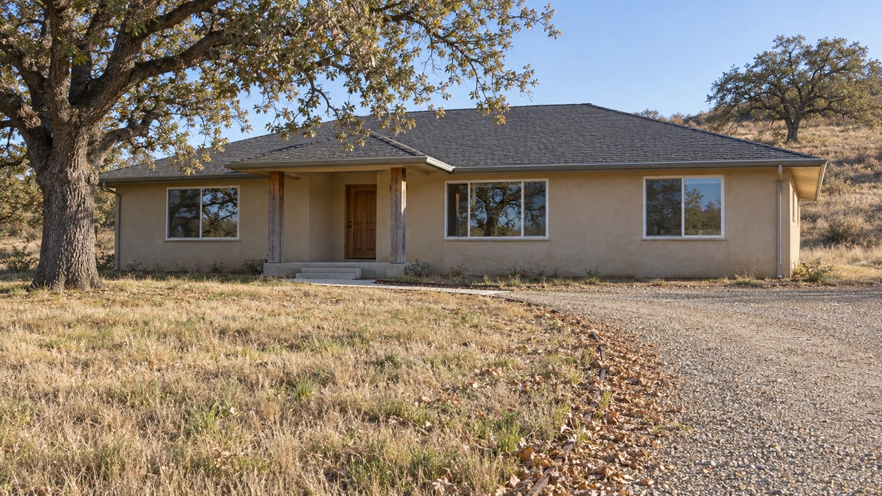
When the weather cools and the lake quiets down, Exchequer's trails are at their best, all within a short drive of Coulterville. If a trailhead you can reach in a few minutes is high on your list for a foothill property, with room for a bike trailer, a workshop for tuning, or a road that gets you to Barrett Cove quickly, I'd be glad to help you think it through. Elaine Hogan has spent more than four decades around these lakes, and I'm always happy to talk about the roads and trails between them. Let's Connect.
Stay up to date on the latest real estate trends.
Buying or selling in La Grange deserves an agent who understands the area beyond the listing sheet. Elaine Hogan brings local insight, PMZ Real Estate support, and years of experience helping clients move with confidence in a market shaped by seasonality, rural properties, and changing buyer demand. If you’re looking for a home, land, or a future retreat in the foothills, Elaine offers a practical and personal approach from first conversation to closing.
(209) 770-6769
[email protected]
14375 LAS MORAS ST
LA GRANGE, CA 95329
